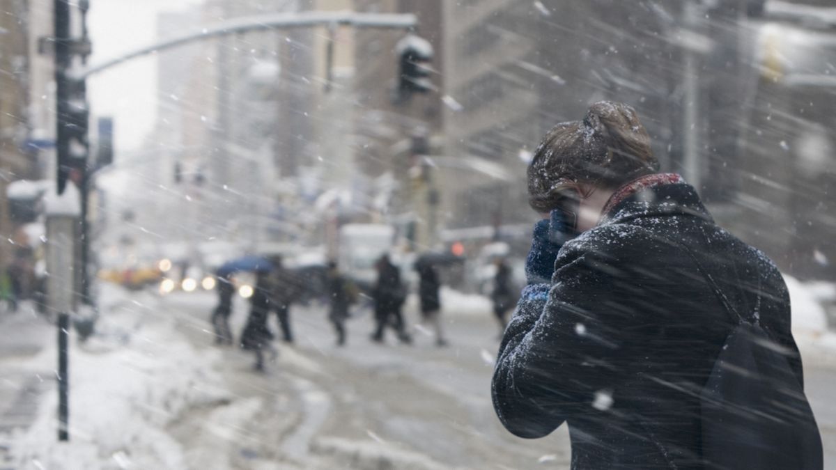
Dangerously cold weather from the Arctic is forecast to hit the U.S. next week, with potentially record-breaking low temperatures expected in some areas, analysts warn.
The Arctic blast is being driven by large-scale pressure changes and a shift in the polar vortex, according to the weather website Severe Weather Europe. It will bring the coldest air of the season so far to millions of Americans, with dangerous wind chills likely across the southeastern U.S., while much of the Appalachians, Ohio Valley, Mid-Atlantic, Great Lakes and northeastern U.S. could see heavy snowfall and significant travel disruptions, according to the National Weather Service.
Temperatures are expected to drop as low as 30 degrees Fahrenheit (17 degrees Celsius) below the average for this time of year, with the potential for sub-freezing temperatures as far south as the Gulf Coast and Florida Peninsula. It could get so cold in Florida that iguanas fall out of the trees, according to CNN Weather. Iguanas go into a temporary state of paralysis when they get too cold, so they can’t hold onto tree branches.
While it’s too early for precise temperature forecasts, the weather website AccuWeather reported that this month could be the coldest January in more than a decade. The Arctic weather is expected to last until at least the middle of January.
“The key here is that the Arctic outbreak will involve many days and not just be a quick one-to-three-day event,” Paul Pastelok, lead long-range forecaster at AccuWeather, said in the article. “A trainload of Arctic high pressure areas will move southward into the U.S. from the northern Plains to the Southeast states with the pattern.”
Related: Bizarre polar vortex over Antarctica delayed ozone hole opening, scientists say
The polar vortex is an area of low pressure and cold air that circulates around the North and South poles. The vortex is present all year, but it strengthens and expands in the winter in the Northern Hemisphere, pushing cold air south with the jet stream, according to the National Weather Service.
This year, two areas of high pressure are sending the cold air from Canada down into the eastern U.S., according to Fox Weather. The weather pattern could produce winter storms with the potential for snow to accumulate in major cities such as New York, Chicago, Boston, Philadelphia and Washington D.C., according to AccuWeather.
Disruptive and damaging weather
The weather pattern could prove disruptive and damaging, with the possibility for power grid damage, heavy snow across the Great Lakes and into the Northeast, and frozen pipes and water damage in poorly insulated or exposed homes in south-central and southeastern states, according to AccuWeather.
Virginia, North Carolina, South Carolina, Georgia, Alabama and Florida could record their coldest January in many years if the Arctic outbreak reaches its full potential.
“In an extreme scenario where the cold lingers past the middle of January, January 2025 could be the coldest since January 2014 in this region, which was 6 F [3.3 C] colder than the historical average,” Dan DePodwin, senior director of forecasting operations at AccuWeather, said in the article.


