


Deep-sea landslides in the Pacific Northwest’s Cascadia subduction zone hold a record of earthquakes dating back 7,500 years, and similar markers may be found in other tectonic plate boundaries worldwide, new research shows.
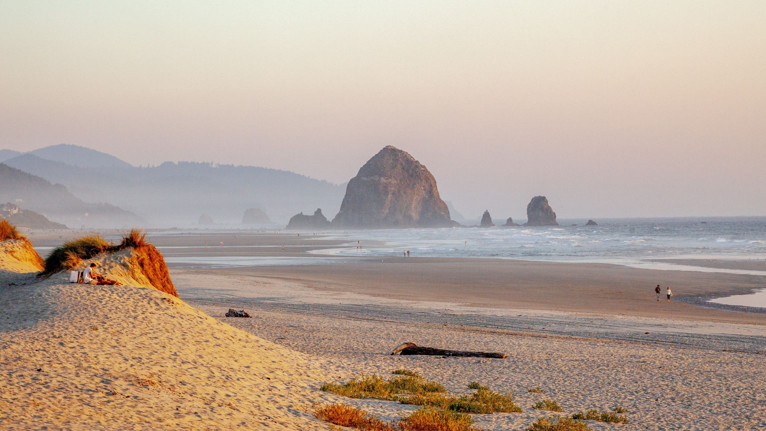
Subduction zones are places where an oceanic tectonic plate dives beneath a continental plate, which can cause large and damaging earthquakes like the 2011 Tohoku magnitude 9.1 earthquake in Japan that triggered a devastating tsunami. The Cascadia subduction zone — which extends from northern California to Vancouver Island, British Columbia — is capable of quakes of at least magnitude 9.0, according to the Pacific Northwest Seismic Network.
But turbidites in submarine canyons near the shore can also be caused by storms, currents and regular landslides that have nothing to do with earthquakes. In the new study, published Wednesday (Jan. 14) in the journal Science Advances, U.S. Geological Survey research geologist Jenna Hill and her colleagues decided to go deeper. They collaborated with the Monterey Bay Aquarium Research Institute to study the continental slope — the steep dropoff from the North American continent to the plains of the deep sea — in southern Cascadia.
Focusing on an area off the coast of Crescent City, California, the researchers used autonomous and remotely operated vehicles to get detailed views of the slope and sediment deposits. They also used sediment cores from the region to radiocarbon-date the turbidite deposits and compare their timing to the dates of known ancient Cascadia quakes.
The researchers found evidence of at least 10 events in the past 7,500 years, which enabled them to link historical quakes, landslides and resulting turbidites.
“We are able to clarify how and where the turbidites are generated,” Hill told Live Science. “So we know they’re coming from landslides that we know are triggered by earthquakes.”
It’s not clear how large a quake has to be to trigger deep-sea turbidites, Hill said, but it probably has to be large enough to cause damage. She and her colleagues also saw signs of seafloor shaking corresponding with the earthquake turbidites, which could additionally raise the risk of tsunamis from this type of quake.
Turbidites found in submarine canyons closer to the coast of the Pacific Northwest have already been used to link earthquakes in Cascadia to quakes on the nearby San Andreas Fault. Turbidites on the continental slope may be even more reliable markers of quakes because they’re less influenced by coastal processes such as tides or rainfall, Hill said.
“We think they’re happening most everywhere along subduction zones,” she said, “so we should be able to find these landslide deposits and marine turbidites globally in places where we have never looked for them before.”


