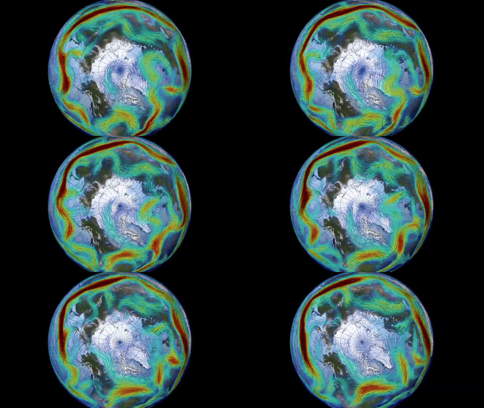
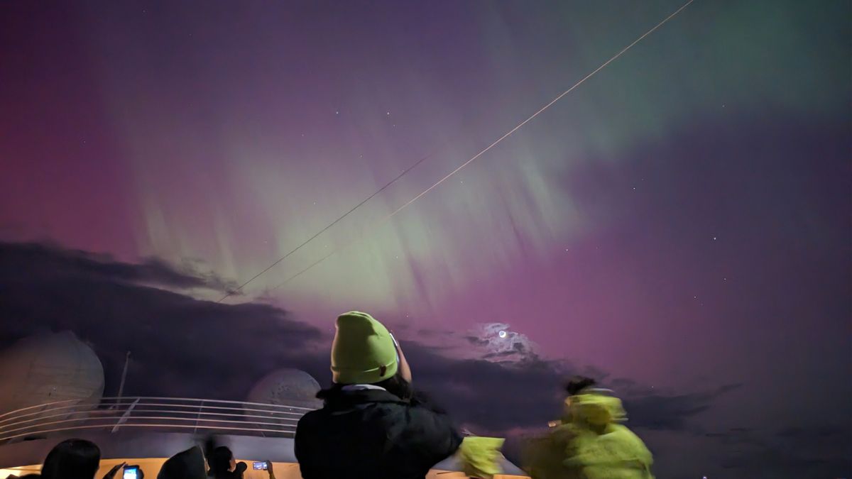
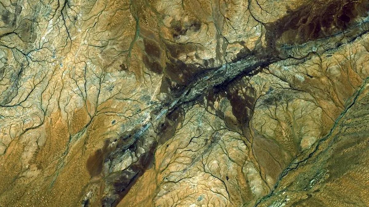
The polar vortex circling the Arctic is swirling in the wrong direction after surprise warming in the upper atmosphere triggered a major reversal event earlier this month. It is one of the most extreme atmospheric U-turns seen in recent memory.
In the past, disruptions to the polar vortex — a rotating mass of cold air that circles the Arctic — have triggered extremely cold weather and storms across large parts of the U.S..
The current change in the vortex’s direction probably won’t lead to a similar “big freeze.” But the sudden switch-up has caused a record-breaking “ozone spike” above the North Pole.
The polar vortex is most prominent during winter months and extends into the stratosphere — the second layer of the atmosphere up to around 30 miles (50 kilometers) above the surface. The vortex spins counterclockwise with wind speeds of around 155 mph (250 km/h), which is around the same speed as a Category 5 hurricane, according to the U.K. Met Office. A similar vortex also encircles Antarctica during the southern winter.
Polar vortices occasionally reverse temporarily. These events can last for days, weeks or months and are caused by sudden stratospheric warming (SSW), when the temperatures in the stratosphere climb by as much as 90 degrees Fahrenheit (50 degrees Celsius) in the space of a couple of days, according to the Met Office.
Related: ‘One of the biggest on record’: Ozone hole bigger than North America opens above Antarctica
The sudden warming is caused by “planetary waves” in the atmosphere — compression waves formed when air rises into a region of different density and is pushed back downward by the force of Earth’s spin. This process disrupts or reverses the vortex flow.
The current reversal event in the Arctic began on March 4. However, the winds are starting to slow down, hinting that the vortex will return to its normal trajectory soon, Spaceweather.com reported.
“It was a substantial reversal,” Amy Butler, a climate scientist at the National Oceanic and Atmospheric Administration (NOAA) and author of NOAA’s new polar vortex blog, told Spaceweather.com. The speed of the reversed winds puts the event in the top six on record, she added.
Disruptions to the polar vortex can impact weather in the U.S., such as in 2019 when a massive cold front descended across the Midwest. These extreme weather events occur when the polar vortex deforms the jet stream — an air current that surrounds the polar vortex — exposing lower latitudes to large blobs of icy Arctic air.
This month’s disruption did not change the shape of the jet stream, so weather patterns are expected to remain largely unaffected, according to Spaceweather.com.
However, the change in air temperature around the Arctic has sucked up large amounts of ozone from lower latitudes, creating a temporary ozone spike — the opposite of an ozone hole. Currently, there is more ozone surrounding the Arctic than at this time during any other year on record, according to Spaceweather.com. However, this ozone spike will disappear after the polar vortex returns to normal
The current reversal is the second of its kind this year, following a smaller event in January that did cause a brief cold snap in some states, Butler wrote in NOAA’s polar vortex blog.
Historical records show that SSW events are more likely to occur during El Niño or La Niña, the two contrasting phases of a natural cycle of planet-wide warming and cooling. During these phases, global weather systems become more unstable, which sets the stage for more frequent reversal events, Butler wrote in the NOAA blog.
We are currently in the midst of a major El Niño, which could make further reversals or disruptions more likely over the next year or so.


