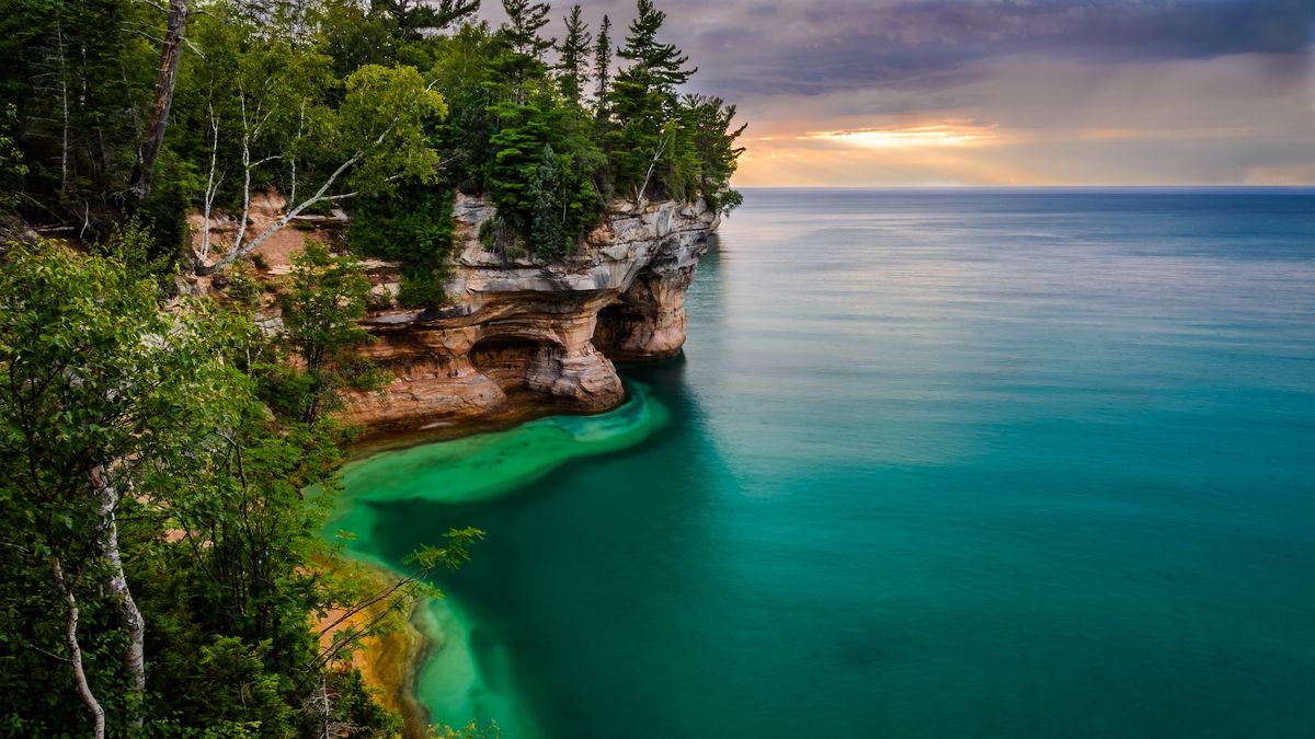
The Great Lakes formed where they did 20,000 years ago thanks to a hotspot that sat under the supercontinent Pangaea 300 million years ago, before North America even existed.
New research finds that the Cape Verde hotspot, which still exists under the island nation in the Central Atlantic Ocean, heated and stretched the crust under the spot that would eventually become the Great Lakes. This process, which happened over tens of millions of years, led to a low spot in the topography of the region, which glaciers later scraped out during the ice age. After the glaciers retreated, their melt filled the lakes, which now hold 21% of the world’s fresh water.
“It was the hotspot which made the first imprint,” said Aibing Li, a seismologist at the University of Houston and a co-author of the new paper, published Dec. 25 in the journal Geophysical Research Letters.
Hotspots are plumes of hot material that rise from the mantle, Earth’s middle layer. When hotspots interact with the crust, they can create volcanoes, such as the Hawaiian Islands. Yellowstone National Park also formed because of a hotspot, which left a trail of volcanism through Oregon, Idaho, Montana, Nevada and Wyoming as the North American continent crept over it.
The traces of ancient hotspots are harder to detect, as old volcanoes erode. However, there are two hotspots in the Atlantic today — the Great Meteor hotspot and the Cape Verde hotspot — that geologists know, based on how the tectonic plates have moved over hundreds of millions of years, must have once been under North America. The Great Meteor hotspot traced a line under what is now the border of Ontario and Quebec and then cut across modern-day Vermont and New Hampshire and out into the Atlantic between 150 million and 115 million years ago. This process is confirmed by the presence of kimberlites, rocks from rapid volcanic eruptions that can carry diamonds to the surface.
The Cape Verde hotspot, on the other hand, had been little studied. Li and her team were working on understanding the formation and evolution of the North American continent when they discovered something odd in the Great Lakes region: In the crust under the lakes, earthquake waves moved oddly — they traveled at different velocities going horizontally versus vertically. This phenomenon is called “radial anisotropy.”
“Usually you see this anisotropy when the lithosphere deforms significantly,” Li told Live Science. (“Lithosphere” refers to Earth’s crust and the upper part of the mantle.)
When she and her team discovered these signs of deformation, they weren’t thinking of a hotspot. But a colleague, Jonny Wu, a geologist at the University of Houston, had been creating reconstructions of how tectonic plates moved, and he shared a video of those movements that made everything click. The Cape Verde hotspot had once been right under today’s Great Lakes. And the weird quirks of how the seismic waves move through the crust under the area lined right up with the continent’s path over the hotspot.
The researchers found that the hotspot sat under today’s Lake Superior between about 300 million and 225 million years ago, when North America was part of Pangaea. As the continent shifted above it, the hotspot traveled through today’s Lake Huron and northern Lake Erie. It then traced under west-central New York state and central Maryland before hitting northern Virginia and heading out to sea about 170 million years ago.
Li and her colleagues are now extending the model westward to cover the rest of the Great Lakes region. They’re also interested in learning whether it’s a general rule that large, inland lakes occur in places where hotspots once sat.
“There are many big lakes, and also there are many hotspots,” Li said. Connecting those lake regions to ancient hotspots might reveal the way these mantle phenomena have shaped Earth’s continents.


