Nature surrounds us, but as our cities and urban environments encroach ever further across green spaces, are we losing one of the most powerful weapons in our armory against disease?
In this excerpt from her new book “Good Nature,” Kathy Willis, professor of biodiversity at the University of Oxford, shows how satellite images reveal the negative effect that the erosion of green spaces is having on the mental wellbeing of the population. It’s also increasing the risk of respiratory and cardiovascular diseases. She explores the tools we use to make these discoveries, and reveals the untapped power of nature in combating common health problems.
Related: ‘A direct relationship between your sense of sight and recovery rate’: Biologist Kathy Willis on why looking at nature can speed up healing
Outside of the medical field, the term biobank is poorly known. Yet these “banks” probably represent some of the most important collections of data to emerge in the past few decades for understanding trends and patterns in human health.
Population biobanks are, as their name suggests, collated samples of biological material (blood, DNA, etc.) and records of individuals from across a population, not just those who are targeted because they have a particular disease. Individuals are invited to join these population biobanks and to have their personal data, medical records and tissue samples recorded. There are also some data repositories that simply collate publicly available details (e.g., mortality and cause of death). As a result, these banks represent a snapshot of the population, spanning different ages, gender, socioeconomic groups and locations. Many countries now have or are developing these banks of population health data, and their potential to improve our understanding of the links between human health and the environment is huge.
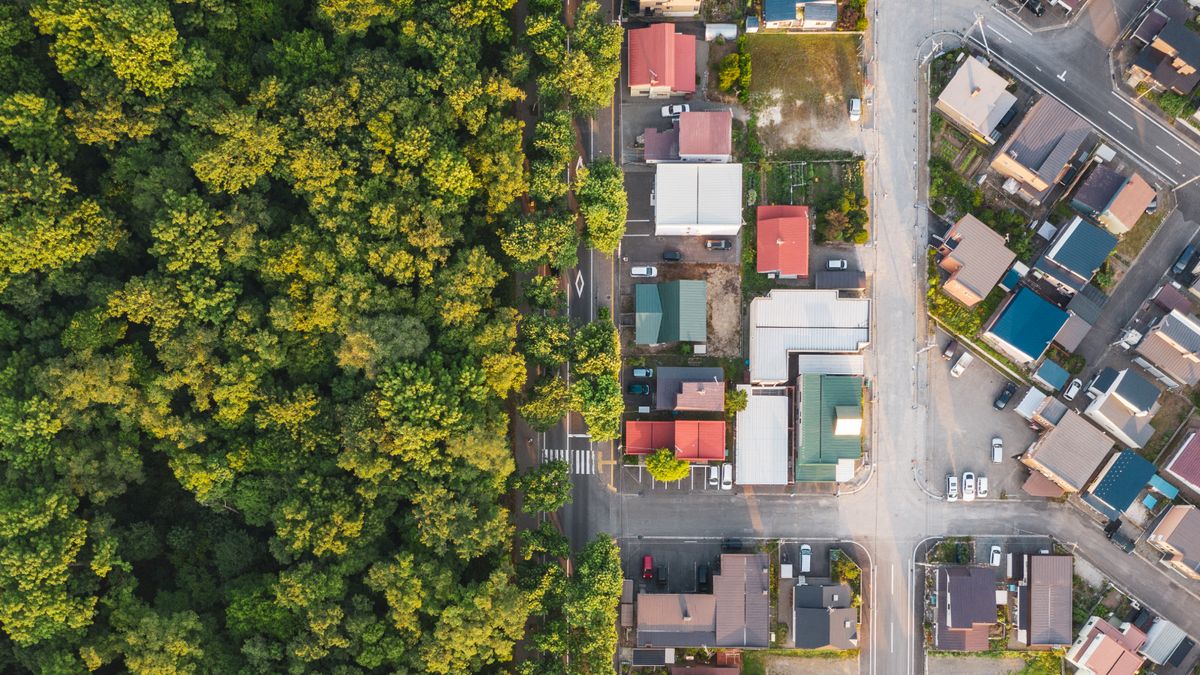
Population biobanks have developed alongside another incredibly important data source: environmental sensors on satellites. These sensors are able to capture continental-scale environmental pictures at very fine scale (where images (pixels) are captured globally at a resolution of every 30 m [98 feet] or less). One particularly useful satellite measurement in terms of understanding the relationship between health and natural features is the “Normalized Difference Vegetation Index,” or NDVI, which measures the health, or “vigor,” and greenness of the vegetation in any given place. NDVI is calculated by looking at the difference in the amount of visible “red light” (healthy plants) versus “near infrared light” (dying plants) that is reflected from vegetation.
NDVI measurements have revealed some of the most intriguing correlations between the environment and human health. For example, the greener the environment in which your house is situated, the less depressed you are. This landmark study used NDVI and the UK biobank to reveal the significant protective effect of green environments against depression, and showed that, even after taking into account factors such as age, socioeconomic status and cultural differences, the incidence of diagnosis and treatment of mental health disorders is less the greener the environment people live in, as measured by NVDI. The effects were more pronounced among women, especially those under 60 years of age and in areas with low socioeconomic status or higher urbanicity. Similar study findings, albeit with smaller sample sizes, have also been reported in cities in the U.S., Spain, France and South Africa.
Another study using large-scale population health data alongside satellite data found a link between the death of millions of city street trees and more than 21,000 additional human deaths due to respiratory illness and cardiovascular incidents. The study asked an interesting question: if you remove the trees from city streets — thereby eliminating its beautiful green canopies — does it have a negative impact on human health? It examined what happened to cardiovascular and lower-respiratory-tract illness as a fast moving infestation of the emerald ash borer killed street trees in U.S. cities within two years of infestation. This infestation moved across the U.S. in the 2000s in a wavelike pattern from east to west, killing over 100 million ash trees. By comparing the timing and location of the death of these trees with geolocated public health mortality records at the county level, these two big datasets revealed that an additional 6,113 human deaths related to respiratory illness and an additional 15,080 cardiovascular-related deaths occurred across the country as successive counties became infested. The magnitude of this effect became greater as the infestation progressed and was particularly pronounced in counties with above-average median household income.
Taken together, these two exciting advancements in data collection are providing a treasure-trove of specific information that can be used to scientifically compare an individual’s medical records, and any diseases they might have, with the environment in which they live. These study results illustrate the power of these datasets to analyze data in ways that were not possible before. Why is this information important? Because it has profound implications for us as individuals, and for policy makers who are grappling with the startling statistics of public health epidemics, cardiovascular disease, respiratory illness, increased anxiety, depression and suicide. In the U.K. alone, 7.6 million people are currently living with cardiovascular disease: globally, it is the leading cause of death. And currently around 15% of the U.K. population are taking anti-depressants. The information now available to us provides another weapon in our armory in the fight to combat these modern-day plagues and health crises. The recommended solutions are simple, economical and easy for anyone to do. The prescription is nature.


